Welcome to Part I of our three-part series all about developing an effective waterhole plan for western speed goats. Let’s dive in!
A hands-on scouting foray for pronghorn isn’t always feasible. The good news: Finding prospective water sources where speed goats are likely to drink is possible via paper and online mapping systems.
This may be a bit old school, but I recommend grabbing a paper map of your hunt area. Visit the map’s legend and take note of the symbols that mark water sources like stock tanks, ponds, windmills and springs. Next, scour your paper map and look for areas with limited water sources. The more limited the water, the more concentrated pronghorn activity will be in that area. If ponds and tanks are present around every yucca, move to another area.

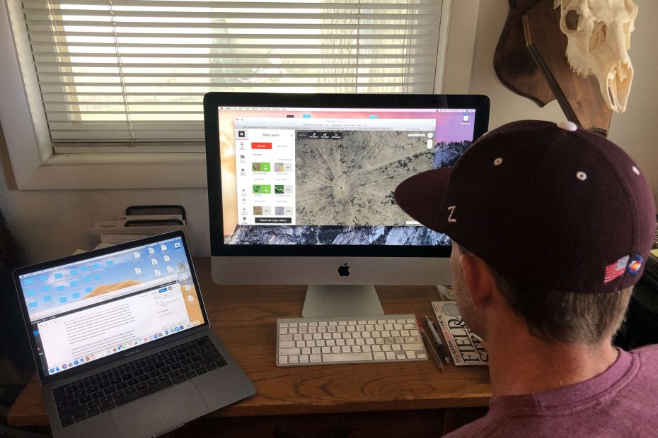
Once you’ve marked a few water sources, jump on onX Hunt (www.onxmaps.com) and get an aerial view. What are you looking for? Check the ponds and springs first. Why? Pronghorn are nervous creatures and their anxiety seems to spike when coming to drink. Pond and spring water allow goats to slurp while keeping their eyes up and peeled for approaching danger. Stock tanks often aren’t full to the brim and require drinking pronghorn to lower their head into the tank, causing them to lose their nearly 300-degree vision.
When looking at ponds and springs, use the Line Distance tool to measure the length and width of each water source. This will help you determine their size, and let you know if the spot is conducive for a bow shot. This is not an exact science. Rainfall can’t be predicted. I’ve seen ponds that look massive on an aerial image be small puddles. On the flip side, I’ve seen small ponds bubbling water over the dyke. With that noted, I still highly recommend going the measurement route as it will give you a jumping off point.

Stock tanks can be red-hot refreshment areas as well, especially if ponds and springs are limited. The key to finding the right stock tank is locating one in a flat, open area. While zoomed in on a tank, click the Hybrid view button on the lower right side of your onX screen. This mode provides an aerial view, but also integrates topo lines. Use these lines to see how flat an area is. It works like a charm. Stay away from water sources, both ponds and tanks, in steep, broken country. Avoid those located in winding canyons or areas that require pronghorn to walk a good way down into them. These water sources thwart pronghorn vision.
In addition to looking at topo lines, take note of cattle trails coming and going to and from the tank. If trails are present in a 360-degree circle coming to the tank, you’re onto something. Thirsty goats use these same trails. Wandering goats like to be able to approach a water source from any direction and be able to scan the surrounding landscape on their approach.

Other waterhole hotspots include windmill tanks with overflow ponds as well as stock tanks that have a broken bilge and are spilling over. Both areas, due to water flowing on the ground, abound with green vegetation and allow goats to drink with their eyes up. Zoom in on tanks and windmill ponds. You might be surprised what you find.
Quick Tips
- Don’t worry about two-track roads. Most every water source will have a road leading to it. You will use these roads when you arrive for your hunt.
- Use the Line Distance tool to measure how far it is from one water source to another.
- Be sure to use the Add Waypoint tool and mark each water source you plan to inspect upon your arrival.
Wow! Think of all you’ve got done. Now you won’t be going into an area blind. You have a plan and water sources to go check. In Part II of this series, we’re going to cover what to do upon your arrival to your hunt area, and what to look for when inspecting water sources.
